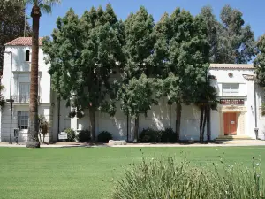
Kern River Parkway Trail
About
The Kern River Parkway Trail is a paved path of about 30 miles through Bakersfield, running from Kern River County Park near Alfred Harrell Highway to Enos Lane (State Route 43). Most of it is asphalt, with parallel dirt or gravel paths in some sections. The listed access point in central Bakersfield is about 12 miles north-northwest of Lamont.
It's a free public trail for walking, running and cycling, and parks along the parkway add water and restrooms. Yokuts Park and the Panorama Park bluff overlook sit along or beside it. A separate 2.5-mile Stockdale River Ranch trail links communities north of the river to the parkway.
The trail is long, so pick an access point close to the rest of your plans. The Kern River has strong currents, so stay on the path and keep children back from the water. In summer, go early, since Bakersfield sees more than 100 days a year at 90 degrees or hotter.
How we score it 4.0
How we rate placesOur editors' score out of 5, the weighted average of the parts above. Visitor reviews are shown separately and never change it.
Reviews
No reviews yet. Be the first to say what it's like.
Been here? Write a reviewRate it and tell other visitors what it's like.
You can write your review now. When you post it, we'll ask you to log in or sign up, and your review will be waiting when you come back.